
Mynd:Norway - Lofoten.PNG
Það er engin hærri upplausn til.
Norway_-_Lofoten.PNG (570 × 491 mynddílar, skráarstærð: 17 KB, MIME-gerð: image/png)
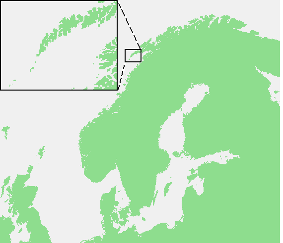
| Lýsing | Lofoten Islands | ||||
| Uppruni | own work based on PD map | ||||
| Höfundarréttarhafi | edited by M.Minderhoud | ||||
| Réttindi (Endurnotkun á þessari skrá) |
|
Breytingaskrá skjals
Smelltu á dagsetningu eða tímasetningu til að sjá hvernig hún leit þá út.
| Dagsetning/Tími | Smámynd | Víddir | Notandi | Athugasemd | |
|---|---|---|---|---|---|
| núverandi | 9. ágúst 2006 kl. 20:28 | | 570 × 491 (17 KB) | Michiel1972 | {{Information |Description=Lofoten Islands |Source= own work based on PD map |Date= |Author= edited by M.Minderhoud |Permission= {{PD-Demis}} |other_versions= }} category:Locator maps of islands category:Lofoten |
Skráartenglar
Eftirfarandi síða notar þessa skrá:
Altæk notkun skráar
Eftirfarandi wikar nota einnig þessa skrá:
- Notkun á ar.wikipedia.org
- Notkun á az.wikipedia.org
- Notkun á br.wikipedia.org
- Notkun á ca.wikipedia.org
- Notkun á cs.wikipedia.org
- Notkun á da.wikipedia.org
- Notkun á de.wikipedia.org
- Notkun á de.wikivoyage.org
- Notkun á en.wikipedia.org
- Notkun á eo.wikipedia.org
- Notkun á es.wikipedia.org
- Notkun á et.wikipedia.org
- Notkun á eu.wikipedia.org
- Notkun á fi.wikipedia.org
- Notkun á fr.wikipedia.org
- Notkun á fy.wikipedia.org
- Notkun á gl.wikipedia.org
- Notkun á hu.wikipedia.org
- Notkun á io.wikipedia.org
- Notkun á it.wikipedia.org
- Notkun á ja.wikipedia.org
- Notkun á lt.wikipedia.org
- Notkun á nl.wikipedia.org
- Notkun á no.wikipedia.org
- Notkun á pl.wikipedia.org
- Notkun á pl.wikivoyage.org
- Notkun á pnb.wikipedia.org
- Notkun á pt.wikipedia.org
- Notkun á ro.wikipedia.org
- Notkun á ru.wikipedia.org
- Notkun á sk.wikipedia.org
- Notkun á sr.wikipedia.org
- Notkun á sv.wikipedia.org
Skoða frekari altæka notkun þessarar skráar.