
Mynd:Larvik Torstrand.jpg
Stærð þessarar forskoðunar: 800 × 533 mynddílar Aðrar upplausnir: 320 × 213 mynddílar | 640 × 426 mynddílar | 1.024 × 682 mynddílar | 1.280 × 852 mynddílar | 2.472 × 1.646 mynddílar.
Upphafleg skrá (2.472 × 1.646 mynddílar, skráarstærð: 3,06 MB, MIME-gerð: image/jpeg)
Lýsing
| Camera location | | View this and other nearby images on: OpenStreetMap |
|---|
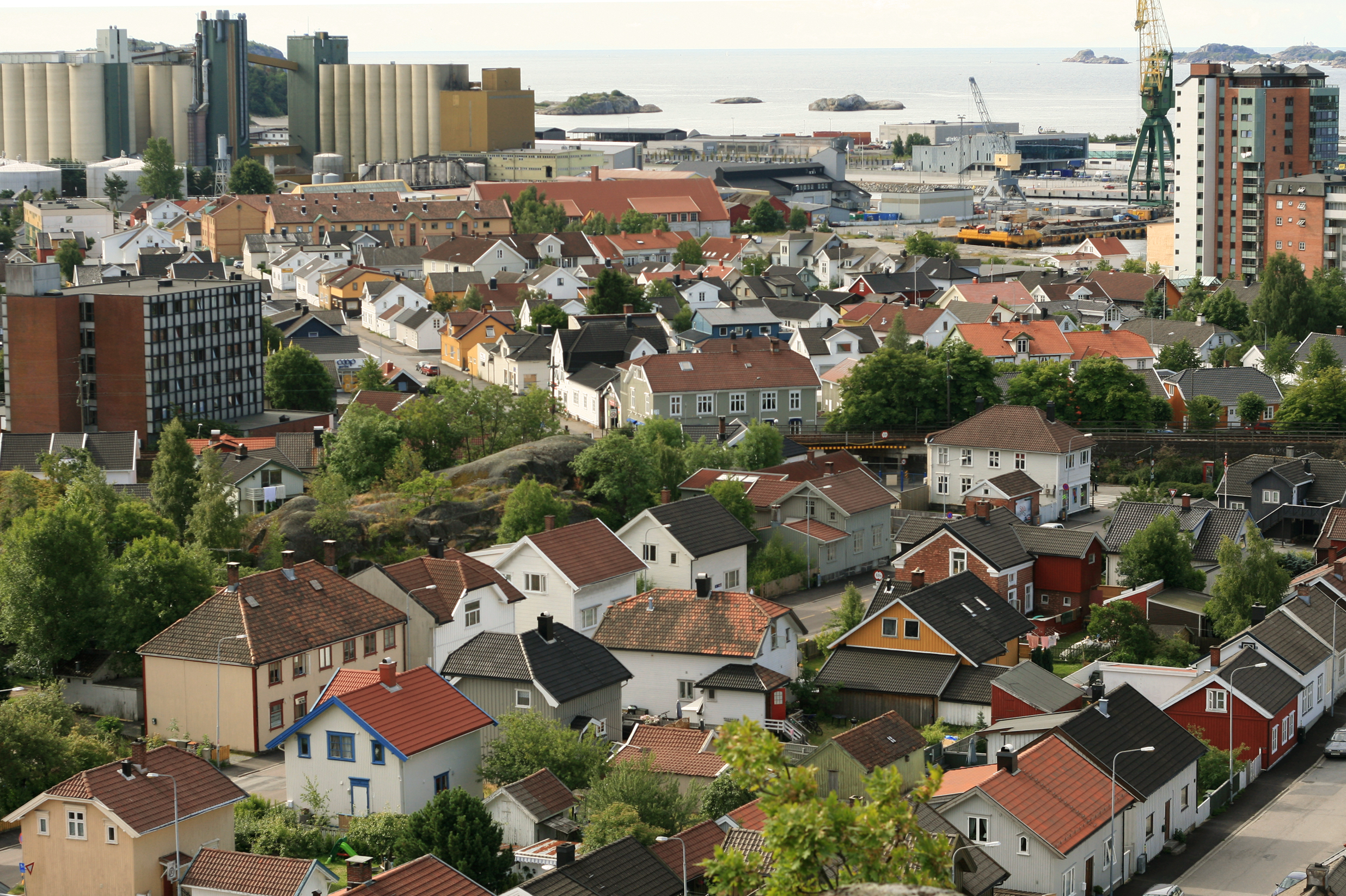
| Lýsing | Torstrand, Larvik, Norway. |
| Dagsetning | |
| Uppruni | eigin skrá |
| Höfundarréttarhafi | User:Mahlum |
Leyfisupplýsingar:
| I, the copyright holder of this work, release this work into the public domain. This applies worldwide. In some countries this may not be legally possible; if so: I grant anyone the right to use this work for any purpose, without any conditions, unless such conditions are required by law. |
Breytingaskrá skjals
Smelltu á dagsetningu eða tímasetningu til að sjá hvernig hún leit þá út.
| Dagsetning/Tími | Smámynd | Víddir | Notandi | Athugasemd | |
|---|---|---|---|---|---|
| núverandi | 13. september 2008 kl. 10:34 | | 2.472 × 1.646 (3,06 MB) | Mahlum | {{Information |Description= |Source= |Date= |Author= |Permission= |other_versions= }} Category:Larvik |
| 13. júlí 2006 kl. 22:44 |  | 2.344 × 1.440 (979 KB) | Mahlum | {{Information |Description=Torstrand, Larvik, Norway. |Source=Own work |Date=2006-06-30 |Author=User:Mahlum |Permission= |other_versions= }} Category:Larvik |
Skráartenglar
Eftirfarandi síða notar þessa skrá:
Altæk notkun skráar
Eftirfarandi wikar nota einnig þessa skrá:
- Notkun á ar.wikipedia.org
- Notkun á be-tarask.wikipedia.org
- Notkun á bg.wikipedia.org
- Notkun á cs.wikipedia.org
- Notkun á de.wikipedia.org
- Notkun á en.wikipedia.org
- Notkun á fi.wikipedia.org
- Notkun á fr.wikipedia.org
- Notkun á hr.wikipedia.org
- Notkun á hu.wikipedia.org
- Notkun á hy.wikipedia.org
- Notkun á ie.wikipedia.org
- Notkun á it.wikipedia.org
- Notkun á ko.wikipedia.org
- Notkun á li.wikipedia.org
- Notkun á mk.wikipedia.org
- Notkun á nl.wikipedia.org
- Notkun á no.wikipedia.org
- Notkun á ro.wikipedia.org
- Notkun á ru.wikipedia.org
- Notkun á sq.wikipedia.org
- Notkun á sr.wikipedia.org
- Notkun á sv.wikipedia.org
- Notkun á tr.wikipedia.org
- Notkun á uk.wikipedia.org
- Notkun á www.wikidata.org
- Notkun á zh.wikipedia.org