
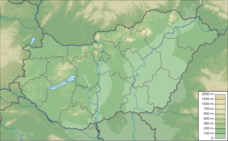
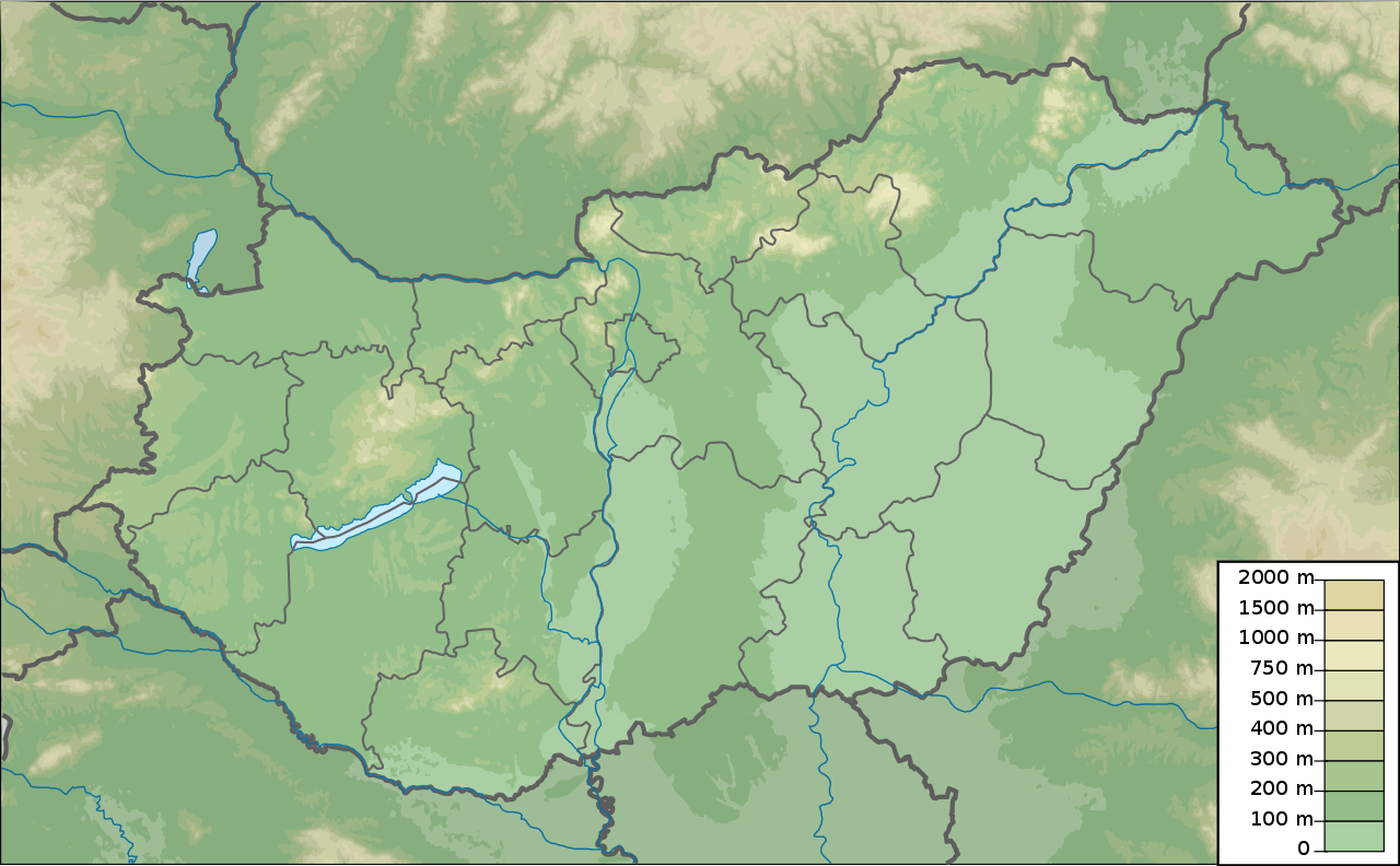
Mynd:Hungary physical map.svg

Stærð þessarar PNG forskoðunar á SVG skránni: 800 × 495 mynddílar. Aðrar upplausnir: 320 × 198 mynddílar | 640 × 396 mynddílar | 1.024 × 633 mynddílar | 1.280 × 792 mynddílar | 2.560 × 1.583 mynddílar | 852 × 527 mynddílar.
Upphafleg skrá (SVG-skrá, að nafni til 852 × 527 mynddílar, skráarstærð: 977 KB)
Lýsing
| Lýsing | Hungary physical map, parameters equal to File:Hungary location map.svg |
| Dagsetning | |
| Uppruni | eigin skrá |
| Höfundarréttarhafi | Urutseg |
Leyfisupplýsingar:
I, the copyright holder of this work, hereby publish it under the following license:
| This file is made available under the Creative Commons CC0 1.0 Universal Public Domain Dedication. | |
| The person who associated a work with this deed has dedicated the work to the public domain by waiving all of their rights to the work worldwide under copyright law, including all related and neighboring rights, to the extent allowed by law. You can copy, modify, distribute and perform the work, even for commercial purposes, all without asking permission.
|
Breytingaskrá skjals
Smelltu á dagsetningu eða tímasetningu til að sjá hvernig hún leit þá út.
| Dagsetning/Tími | Smámynd | Víddir | Notandi | Athugasemd | |
|---|---|---|---|---|---|
| núverandi | 10. júlí 2012 kl. 18:05 | | 852 × 527 (977 KB) | Flappiefh | Corrected shadow layer according to the right borders |
| 10. júlí 2012 kl. 16:57 |  | 852 × 527 (966 KB) | Flappiefh | Replaced the borders with those from Fichier:Hungary location map.svg | |
| 16. mars 2011 kl. 18:08 |  | 852 × 527 (862 KB) | Urutseg |
Skráartenglar
Eftirfarandi 2 síður nota þessa skrá:
Altæk notkun skráar
Eftirfarandi wikar nota einnig þessa skrá:
- Notkun á als.wikipedia.org
- Notkun á am.wikipedia.org
- Notkun á ast.wikipedia.org
- Notkun á av.wikipedia.org
- Notkun á azb.wikipedia.org
- Notkun á az.wikipedia.org
- Şablon:Yer xəritəsi Macarıstan
- Balaton gölü
- Baradla mağarası
- Tisa gölü
- Obuda adası
- Heviz gölü
- Zenqyo
- Yakab-Xed
- İstallos-Kö dağı
- Erşeg Milli Parkı
- Matra
- Kekeş
- Kişalföld
- Transdunay dağları
- Şimali Macar dağları
- Velençe gölü
- Aqqtelek Milli Parkı
- Bükk Milli Parkı
- Dunay-İpoy Milli Parkı
- Dunay-Drava Milli Parkı
- Köröş-Maroş Milli Parkı
- Marqit (ada)
- Qellert (dağ)
- İrott-kö
- Balatonətrafı Milli Parkı
- Feneketlen gölü
- Qellert dağ mağarası
- Kişkunşaq Milli Parkı
- Ferto-Xanşaq Milli Parkı
- Matra elektrik stansiyası
- Siqetkyoz adası
- Palatinus gölü
- Notkun á ban.wikipedia.org
- Notkun á ba.wikipedia.org
Skoða frekari altæka notkun þessarar skráar.