
Mynd:Oak Ridge National Laboratory Aerial View.jpg
Stærð þessarar forskoðunar: 800 × 360 mynddílar Aðrar upplausnir: 320 × 144 mynddílar | 640 × 288 mynddílar | 1.653 × 743 mynddílar.
Upphafleg skrá (1.653 × 743 mynddílar, skráarstærð: 419 KB, MIME-gerð: image/jpeg)
Lýsing
| Lýsing |
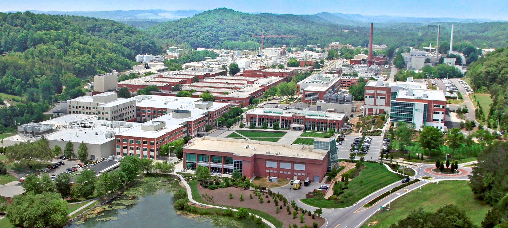
English: An aerial view of the Oak Ridge National Laboratory campus (taken at unknown date) |
|||
| Dagsetning | ||||
| Uppruni | http://energy.gov/orem/cleanup-sites/oak-ridge-national-laboratory | |||
| Höfundarréttarhafi | Oak Ridge Office of Environmental Management, U.S. Department of Energy | |||
| Réttindi (Endurnotkun á þessari skrá) |
|
| Camera location | | View this and other nearby images on: OpenStreetMap |
|---|
Leyfisupplýsingar:
| This image is a work of a United States Department of Energy (or predecessor organization) employee, taken or made as part of that person's official duties. As a work of the U.S. federal government, the image is in the public domain.
Please note that national laboratories operate under varying licences and some are not free. Check the site policies of any national lab before crediting it with this tag.
|

|
Breytingaskrá skjals
Smelltu á dagsetningu eða tímasetningu til að sjá hvernig hún leit þá út.
| Dagsetning/Tími | Smámynd | Víddir | Notandi | Athugasemd | |
|---|---|---|---|---|---|
| núverandi | 5. október 2020 kl. 12:38 | | 1.653 × 743 (419 KB) | Remitamine | Higher resolution version |
| 27. maí 2014 kl. 12:23 |  | 1.340 × 602 (752 KB) | Krtek2125 | User created page with UploadWizard |
Skráartenglar
Það eru engar síður sem nota þessa skrá.
Altæk notkun skráar
Eftirfarandi wikar nota einnig þessa skrá:
- Notkun á ar.wikipedia.org
- Notkun á arz.wikipedia.org
- Notkun á ca.wikipedia.org
- Notkun á cs.wikipedia.org
- Notkun á en.wikipedia.org
- Notkun á en.wikivoyage.org
- Notkun á es.wikipedia.org
- Notkun á fr.wikipedia.org
- Notkun á it.wikipedia.org
- Notkun á ka.wikipedia.org
- Notkun á ko.wikipedia.org
- Notkun á lv.wikipedia.org
- Notkun á pt.wikipedia.org
- Notkun á ru.wikipedia.org
- Notkun á uk.wikipedia.org
- Notkun á ur.wikipedia.org
- Notkun á vi.wikipedia.org
- Notkun á www.wikidata.org