
Mynd:Map spb 1744 high.jpg
Stærð þessarar forskoðunar: 800 × 552 mynddílar Aðrar upplausnir: 320 × 221 mynddílar | 640 × 441 mynddílar | 1.024 × 706 mynddílar | 1.280 × 883 mynddílar | 2.100 × 1.448 mynddílar.
Upphafleg skrá (2.100 × 1.448 mynddílar, skráarstærð: 741 KB, MIME-gerð: image/jpeg)
Lýsing
| Lýsing |
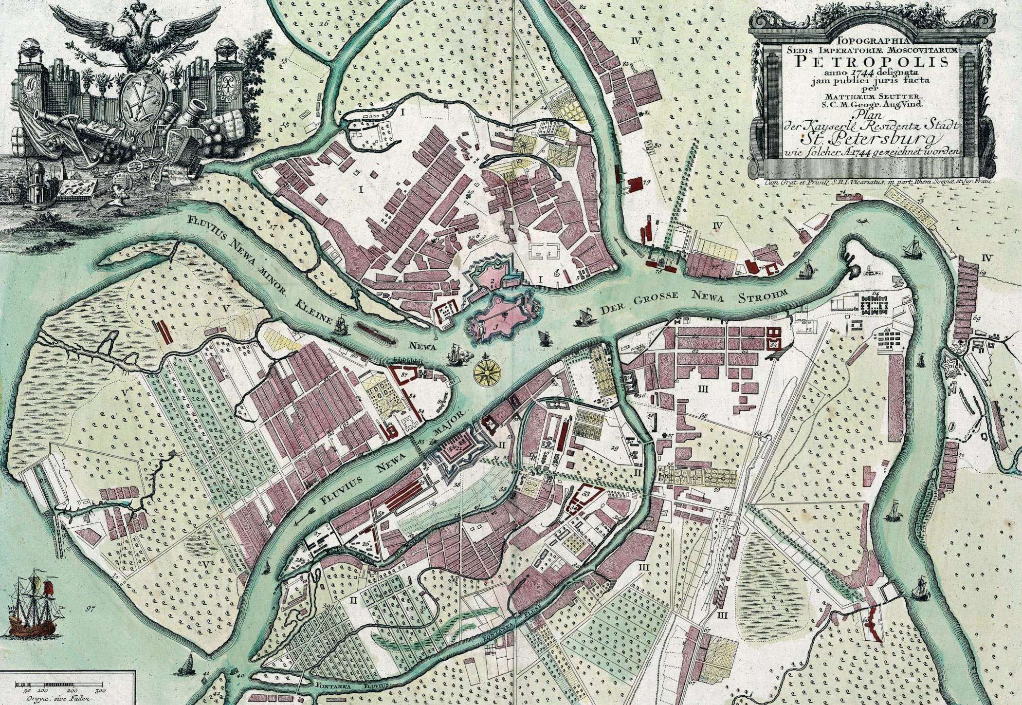
English: Map of St. Petersburg compiled, in 1744, by Matthias Souter Русский: Карта Санкт-Петербурга составленная в 1744 г. Маттиас Сойтер |
| Dagsetning | |
| Uppruni | http://www.spbin.ru/maps/map_stoyter_1744.htm |
| Höfundarréttarhafi | Маттиас Сойтер |
Leyfisupplýsingar:
|
This work is in the public domain in its country of origin and other countries and areas where the copyright term is the author's life plus 100 years or fewer. | |
| This file has been identified as being free of known restrictions under copyright law, including all related and neighboring rights. | |
Breytingaskrá skjals
Smelltu á dagsetningu eða tímasetningu til að sjá hvernig hún leit þá út.
| Dagsetning/Tími | Smámynd | Víddir | Notandi | Athugasemd | |
|---|---|---|---|---|---|
| núverandi | 25. maí 2010 kl. 07:47 | | 2.100 × 1.448 (741 KB) | Peterburg23 | == Summary == {{Information |Description=Карта Санкт-Петербурга составленная в 1744 г. Маттиас Сойтер |Source=http://www.spbin.ru/maps/map_stoyter_1744.htm |Date=1744 |Author=Маттиас Сойтер |Perm |
Skráartenglar
Það eru engar síður sem nota þessa skrá.
Altæk notkun skráar
Eftirfarandi wikar nota einnig þessa skrá:
- Notkun á azb.wikipedia.org
- Notkun á en.wikipedia.org
- Notkun á gl.wikipedia.org
- Notkun á id.wikipedia.org
- Notkun á io.wikipedia.org
- Notkun á mt.wikipedia.org
- Notkun á pl.wikipedia.org
- Notkun á sl.wikipedia.org
- Notkun á ta.wikipedia.org
- Notkun á te.wikipedia.org
- Notkun á zh.wikipedia.org