
Mynd:Kanasín, Yucatán (04).JPG

Stærð þessarar forskoðunar: 800 × 600 mynddílar Aðrar upplausnir: 320 × 240 mynddílar | 640 × 480 mynddílar | 1.024 × 768 mynddílar | 1.280 × 960 mynddílar | 2.560 × 1.920 mynddílar | 4.000 × 3.000 mynddílar.
Upphafleg skrá (4.000 × 3.000 mynddílar, skráarstærð: 2,43 MB, MIME-gerð: image/jpeg)
.JPG)
Lýsing
| Camera location | | View this and other nearby images on: OpenStreetMap |
|---|
.JPG¶ms=020.934742_N_-089.557763_E_globe:Earth_type:camera__&language=is)
| Lýsing |
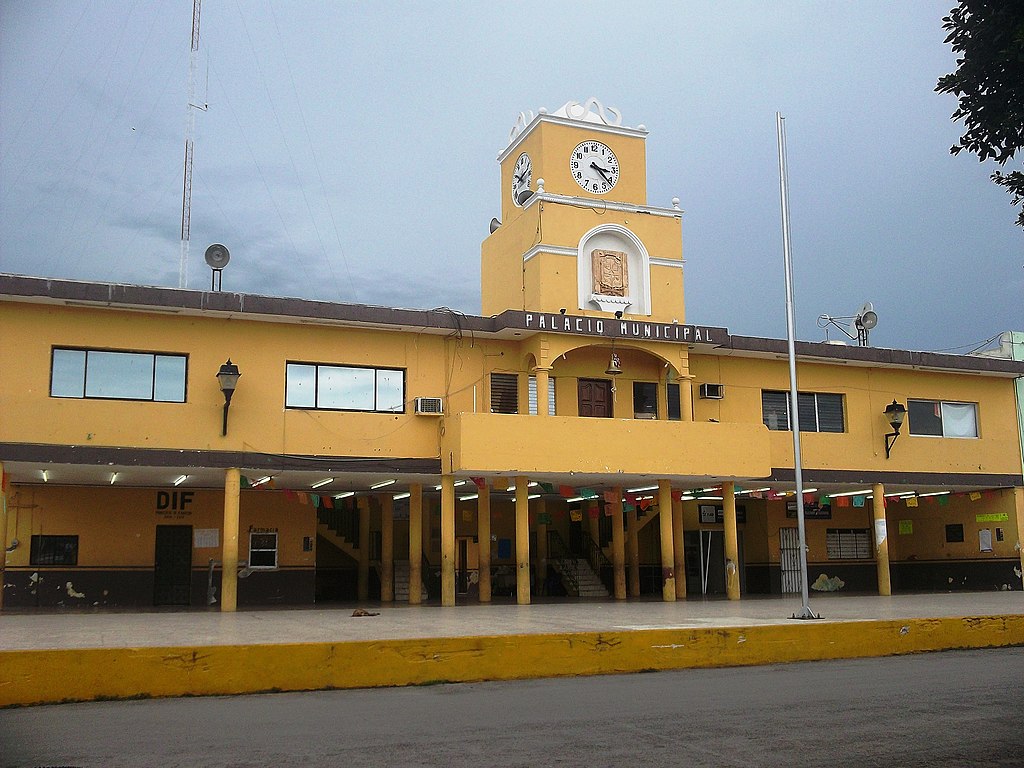
Español: Palacio municipal de Kanasín, Yucatán. |
| Dagsetning | |
| Uppruni | eigin skrá |
| Höfundarréttarhafi | Inri |
Leyfisupplýsingar:
I, the copyright holder of this work, hereby publish it under the following license:
| This file is made available under the Creative Commons CC0 1.0 Universal Public Domain Dedication. | |
| The person who associated a work with this deed has dedicated the work to the public domain by waiving all of their rights to the work worldwide under copyright law, including all related and neighboring rights, to the extent allowed by law. You can copy, modify, distribute and perform the work, even for commercial purposes, all without asking permission.
|
Breytingaskrá skjals
Smelltu á dagsetningu eða tímasetningu til að sjá hvernig hún leit þá út.
| Dagsetning/Tími | Smámynd | Víddir | Notandi | Athugasemd | |
|---|---|---|---|---|---|
| núverandi | 4. júní 2012 kl. 16:01 | | 4.000 × 3.000 (2,43 MB) | Inri | Nueva toma. |
| 20. mars 2012 kl. 15:42 |  | 2.720 × 2.040 (793 KB) | Inri |
Skráartenglar
Það eru engar síður sem nota þessa skrá.
Altæk notkun skráar
Eftirfarandi wikar nota einnig þessa skrá:
- Notkun á ceb.wikipedia.org
- Notkun á en.wikipedia.org
- Notkun á es.wikipedia.org
- Notkun á eu.wikipedia.org
- Notkun á no.wikipedia.org
- Notkun á ru.wikipedia.org
- Notkun á vi.wikipedia.org
- Notkun á www.wikidata.org
.JPG)