
Mynd:Location Poland EU Europe.png
Stærð þessarar forskoðunar: 721 × 600 mynddílar Aðrar upplausnir: 289 × 240 mynddílar | 577 × 480 mynddílar | 923 × 768 mynddílar | 1.231 × 1.024 mynddílar | 2.056 × 1.710 mynddílar.
Upphafleg skrá (2.056 × 1.710 mynddílar, skráarstærð: 166 KB, MIME-gerð: image/png)

|
File:EU-Poland.svg is a vector version of this file. It should be used in place of this PNG file when not inferior.
File:Location Poland EU Europe.png → File:EU-Poland.svg
For more information, see Help:SVG. |
 |
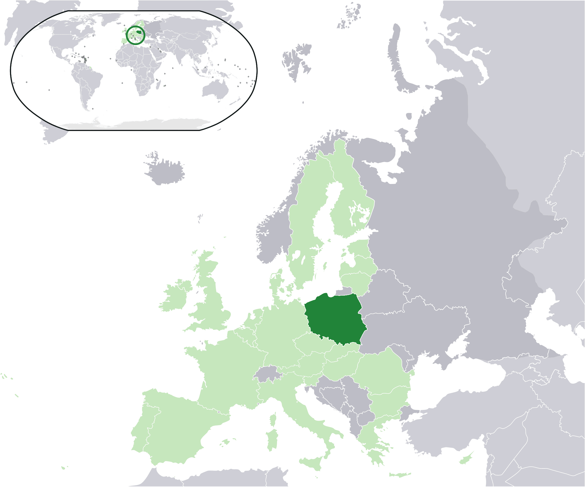
| Lýsing | Location map: Poland (dark green) / European Union (light green) / Europe (dark grey); inspired by and consistent with general country locator maps by User:Vardion, et al |
| Dagsetning | |
| Uppruni | made by en:user:Quizimodo |
| Höfundarréttarhafi | Quizimodo |
| Aðrar útgáfur |
|


Leyfisupplýsingar:
| This work has been released into the public domain by its author, I, Quizimodo. This applies worldwide. In some countries this may not be legally possible; if so: I, Quizimodo grants anyone the right to use this work for any purpose, without any conditions, unless such conditions are required by law. |
Breytingaskrá skjals
Smelltu á dagsetningu eða tímasetningu til að sjá hvernig hún leit þá út.
| Dagsetning/Tími | Smámynd | Víddir | Notandi | Athugasemd | |
|---|---|---|---|---|---|
| núverandi | 4. maí 2009 kl. 19:01 | | 2.056 × 1.710 (166 KB) | Remigiu | {{Information |Description=Location map: Poland (dark green) / European Union (light green) / Europe (dark grey); inspired by and consistent with general country locator maps by User:Vardion, et al |Source=made by en:user:Quizimodo |Date=12 March 2009 |Au |
Skráartenglar
Það eru engar síður sem nota þessa skrá.
Altæk notkun skráar
Eftirfarandi wikar nota einnig þessa skrá:
- Notkun á an.wikipedia.org
- Notkun á ar.wikipedia.org
- Notkun á bo.wikipedia.org
- Notkun á de.wiktionary.org
- Notkun á dv.wikipedia.org
- Notkun á en.wikipedia.org
- Notkun á es.wiktionary.org
- Notkun á fa.wikinews.org
- Notkun á gag.wikipedia.org
- Notkun á gu.wikipedia.org
- Notkun á incubator.wikimedia.org
- Notkun á ka.wikipedia.org
- Notkun á krc.wikipedia.org
- Notkun á lv.wikipedia.org
- Notkun á mt.wikipedia.org
- Notkun á mwl.wikipedia.org
- Notkun á oc.wiktionary.org
- Notkun á pl.wikimedia.org
- Notkun á pl.wiktionary.org
- Notkun á ro.wikipedia.org
- Notkun á ru.wikinews.org
- Польша блокирует переговоры ЕС с Россией
- Исчезнувшее донесение
- В Польше оппозиционная партия выиграла выборы в Сейм
- Викиновости:Шаблоны/Инфобоксы/Страны
- Шаблон:Польша
- Трагедия под Смоленском
- Варшава намерена строить отношения с Москвой по принципу «доверяй, но проверяй»
- Ярослав Качиньский усомнился в подлинности останков погибшего брата
- Опасное повышение уровня воды в польских реках
- Варшава представила видеореконструкцию авиакатастрофы под Смоленском
- Бронислав Коморовский планирует поездку в Катынь
- Польша признала, что экипаж самолёта Качиньского допустил ошибку
- Польша готова вести переговоры о членстве в ЕКА
- В Польше завершилось Первенство мира по ориентированию среди юниоров
- В Польше в результате автобусной аварии пострадали 17 человек
- Польша не удовлетворена решением ЕСПЧ по Катыни
- В Польше и на Украине взял старт Чемпионат Европы по футболу
- В Кракове установили памятник писающему Ленину
- Премьер-министр Польши Дональд Туск подал в отставку
- Notkun á ru.wiktionary.org
- Notkun á ss.wikipedia.org
- Notkun á uk.wikinews.org
Skoða frekari altæka notkun þessarar skráar.