
Mynd:Barents sea map blank.png
Stærð þessarar forskoðunar: 655 × 599 mynddílar Aðrar upplausnir: 262 × 240 mynddílar | 525 × 480 mynddílar | 839 × 768 mynddílar | 1.200 × 1.098 mynddílar.
Upphafleg skrá (1.200 × 1.098 mynddílar, skráarstærð: 252 KB, MIME-gerð: image/png)

|
This locator map image could be re-created using vector graphics as an SVG file. This has several advantages; see Commons:Media for cleanup for more information. If an SVG form of this image is available, please upload it and afterwards replace this template with
{{vector version available|new image name}}.
It is recommended to name the SVG file “Barents sea map blank.svg”—then the template Vector version available (or Vva) does not need the new image name parameter. |
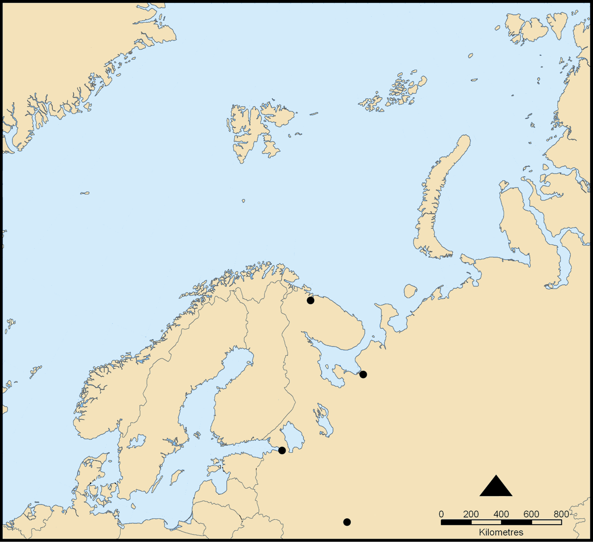
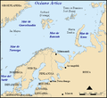
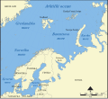
This map shows the location of the Barents Sea north of Russia and Norway, and the surrounding seas and islands.
Created by NormanEinstein, November 25, 2005.
Modified and blanked by historicair 22:27, 28 February 2006 (UTC)
I, the copyright holder of this work, hereby publish it under the following licenses:

|
Gefið er leyfi til að afrita, dreifa og/eða breyta þessu skjali samkvæmt Frjálsa GNU Free Documentation License, útgáfu 1.2 eða nýrri, sem gefið er út af Frjálsu hugbúnaðarstofnuninni með engum breytingum þar á. Afrit af leyfinu er innifalið í kaflanum GNU Free Documentation License. |
| Þessi skrá er með Creative Commons Tilvísun-DeilaEins 3.0 Óstaðfært notkunarleyfi. | ||
| ||
| This licensing tag was added to this file as part of the GFDL licensing update. |
Þú mátt velja notkunarleyfi að eigin vali.
derivative works
[]
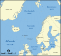
- Norwegian Sea
-

-
 bosanski
 -
 čeština
 -
 dansk
dansk -
 Deutsch
 -
 eesti
eesti -
 English
 -
 français
 -
 français (Jan Mayen localisation)
 -
 hrvatski
 -
 italiano
 -
 magyar
 -
 magyar
 -
 norsk
norsk -
 svenska
 -
 македонски
 -
 нохчийн
 -
 русский
 -
 українська
 -
 中文
中文 -
 עברית
עברית


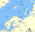
- Barents Sea
-

-
 Deutsch
 -
 English
 -
 español
 -
 hrvatski
 -
 magyar
 -
 Kiswahili
 -
 русский
 -
 Ελληνικά


Breytingaskrá skjals
Smelltu á dagsetningu eða tímasetningu til að sjá hvernig hún leit þá út.
| Dagsetning/Tími | Smámynd | Víddir | Notandi | Athugasemd | |
|---|---|---|---|---|---|
| núverandi | 28. febrúar 2006 kl. 22:27 | | 1.200 × 1.098 (252 KB) | Historicair | This map shows the location of the Barents Sea north of Russia and Norway, and the surrounding seas and islands. Created by NormanEinstein, November 25, 2005. Modified and blanked by ~~~~ {{GFDL-self}} Category:Maps of seas |
Skráartenglar
Það eru engar síður sem nota þessa skrá.