
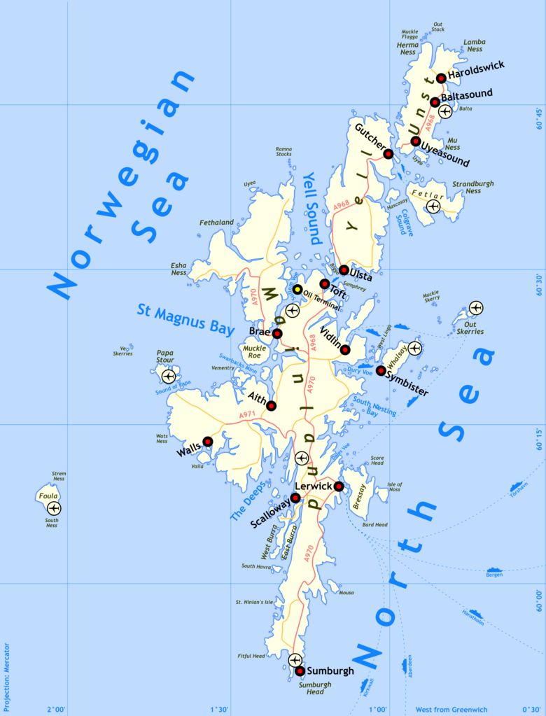
Mynd:Wfm shetland map.png

Stærð þessarar forskoðunar: 457 × 600 mynddílar Aðrar upplausnir: 183 × 240 mynddílar | 366 × 480 mynddílar | 585 × 768 mynddílar | 780 × 1.024 mynddílar | 2.000 × 2.624 mynddílar.
Upphafleg skrá (2.000 × 2.624 mynddílar, skráarstærð: 784 KB, MIME-gerð: image/png)
Lýsing
| Lýsing | Shetland map | |||
| Dagsetning | ||||
| Uppruni | self-made, details of process below | |||
| Höfundarréttarhafi | Finlay McWalter | |||
| Réttindi (Endurnotkun á þessari skrá) |
I'm Finlay McWalter, and I endorse this message | |||
| Aðrar útgáfur |
|


Method of production
Drawn by Finlay McWalter in the following manner:
- An outline was rendered using Panmap running public domain NOAA WVS (world vector shoreline).
- This was exported (as a bitmap, all that Panmap can do) to Paint Shop Pro. This was manually repaired (holes filled, island groups tweaked, and shoreline details clarified or erased). Then the bitmap was floodfilled, so that the subsequent vectoriser will produce polygons rather than lines.
- This was imported into Inkscape and vectorised using Inkscape's "path->trace bitmap" function.
- All details were then manually drawn.
- To produce the final PNG, the whole drawing was exported from Inkscape as a PNG. This was then cropped in Photoshop.
Version history
- (July 14th 2005) Initial test version
- (August 29th 2005) Added towns, airports, oil terminal. Muckle Roe now correctly rendered as a separate island.
- (August 29th 2005) Swapped locations of Sumburgh town and Sumburgh Airport, PNGcrushed image.
Leyfisupplýsingar:
I, the copyright holder of this work, hereby publish it under the following licenses:

|
Gefið er leyfi til að afrita, dreifa og/eða breyta þessu skjali samkvæmt Frjálsa GNU Free Documentation License, útgáfu 1.2 eða nýrri, sem gefið er út af Frjálsu hugbúnaðarstofnuninni með engum breytingum þar á. Afrit af leyfinu er innifalið í kaflanum GNU Free Documentation License. |
| Þessi skrá er með Creative Commons Tilvísun-DeilaEins 3.0 Óstaðfært notkunarleyfi. | ||
| ||
| This licensing tag was added to this file as part of the GFDL licensing update. |
Þú mátt velja notkunarleyfi að eigin vali.
Breytingaskrá skjals
Smelltu á dagsetningu eða tímasetningu til að sjá hvernig hún leit þá út.
| Dagsetning/Tími | Smámynd | Víddir | Notandi | Athugasemd | |
|---|---|---|---|---|---|
| núverandi | 29. ágúst 2005 kl. 19:18 | | 2.000 × 2.624 (784 KB) | Finlay McWalter | Swapped locations of Sumburgh town and Sumburgh Airport, PNGcrushed image |
| 29. ágúst 2005 kl. 18:23 |  | 2.019 × 2.659 (1,13 MB) | Finlay McWalter | {{Information| |Description = en:Shetland map |Source = self-made, details of process below |Date = 29th August 2005 |Author = Finlay McWalter |Permission = I'm Finlay McWalter, and I endorse this message |other_version |
Skráartenglar
Það eru engar síður sem nota þessa skrá.
Altæk notkun skráar
Eftirfarandi wikar nota einnig þessa skrá:
- Notkun á en.wikipedia.org