
Mynd:View from top of Gibbs Lighthouse Bermuda.jpg

Stærð þessarar forskoðunar: 800 × 533 mynddílar Aðrar upplausnir: 320 × 213 mynddílar | 640 × 427 mynddílar | 1.024 × 683 mynddílar | 1.280 × 853 mynddílar | 2.560 × 1.707 mynddílar | 5.384 × 3.589 mynddílar.
Upphafleg skrá (5.384 × 3.589 mynddílar, skráarstærð: 14,97 MB, MIME-gerð: image/jpeg)
Lýsing
| Lýsing |
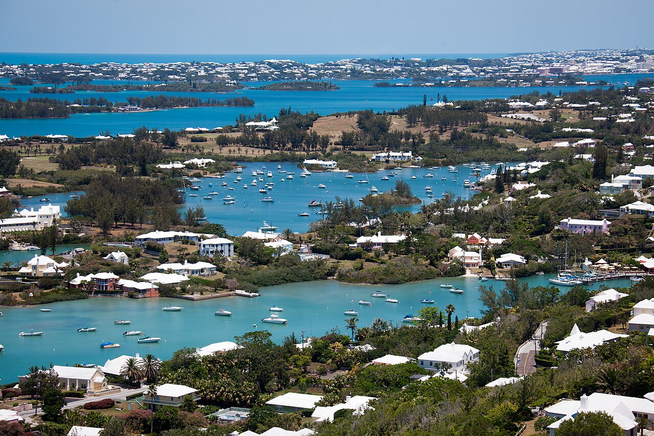
English: NE View from the top of Gibb's Hill Lighthouse in Bermuda |
| Dagsetning | |
| Uppruni | eigin skrá |
| Höfundarréttarhafi | Mike Oropeza |
| Camera location | | View this and other nearby images on: OpenStreetMap |
|---|
Leyfisupplýsingar:
| I, the copyright holder of this work, release this work into the public domain. This applies worldwide. In some countries this may not be legally possible; if so: I grant anyone the right to use this work for any purpose, without any conditions, unless such conditions are required by law. |
Breytingaskrá skjals
Smelltu á dagsetningu eða tímasetningu til að sjá hvernig hún leit þá út.
| Dagsetning/Tími | Smámynd | Víddir | Notandi | Athugasemd | |
|---|---|---|---|---|---|
| núverandi | 30. júlí 2023 kl. 18:36 | | 5.384 × 3.589 (14,97 MB) | Sitenl | Corrected horizon. |
| 3. júlí 2011 kl. 17:35 |  | 5.616 × 3.744 (14,73 MB) | Shutterbug459 | {{Information |Description ={{en|1=NE View from the top of Gibb's Hill Lighthouse in Bermuda}} |Source ={{own}} |Author =Mike Oropeza |Date =2011-06-22 |Permission = |other_versions = }} {{Location|32|15|10.163535|N|64|50| |
Skráartenglar
Það eru engar síður sem nota þessa skrá.
Altæk notkun skráar
Eftirfarandi wikar nota einnig þessa skrá:
- Notkun á ceb.wikipedia.org
- Notkun á en.wikipedia.org
- Notkun á es.wikivoyage.org
- Notkun á hsb.wikipedia.org
- Notkun á id.wikipedia.org
- Notkun á it.wikipedia.org
- Notkun á ja.wikipedia.org
- Notkun á ln.wikipedia.org
- Notkun á lt.wikipedia.org
- Notkun á pt.wikipedia.org
- Notkun á pt.wikivoyage.org
- Notkun á vi.wikipedia.org
- Notkun á www.wikidata.org