
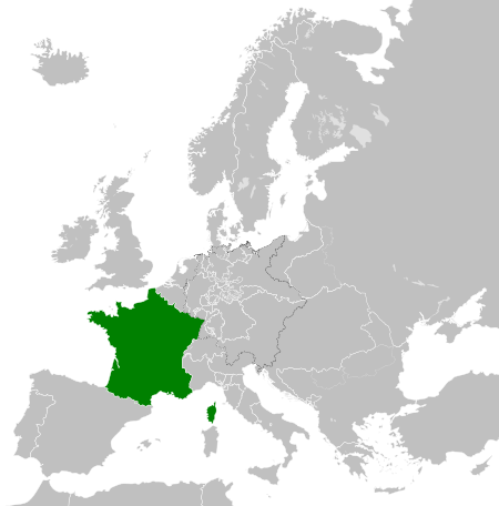
Mynd:French Kingdom within Europe 1839.svg

Stærð þessarar PNG forskoðunar á SVG skránni: 450 × 456 mynddílar. Aðrar upplausnir: 237 × 240 mynddílar | 474 × 480 mynddílar | 758 × 768 mynddílar | 1.011 × 1.024 mynddílar | 2.021 × 2.048 mynddílar.
Upphafleg skrá (SVG-skrá, að nafni til 450 × 456 mynddílar, skráarstærð: 806 KB)
Lýsing


.svg)
.svg)
.svg)
.svg)
.svg)


.svg)
.svg)
.svg)


.png)
.png)


.svg)


.svg)

.svg)


.svg)
.svg)
.svg)
.svg)


.svg)
.png)


.svg)


.svg)
.svg)


.svg)


.svg)


.svg)
.svg)
.svg)
.svg)
.svg)
.svg)
.svg)
_cropped.svg)
.svg)
.svg)
.svg)
.svg)
.svg)
.svg)
.svg)
.svg)
.svg)
.svg)
.svg)
.svg)
.svg)
.svg)
.svg)
.svg)
.svg)
.svg)
.svg)
.svg)
.svg)
.svg)
.svg)
.svg)
.svg)
.svg)
.svg)
.svg)
.svg)
.svg)
.svg)
.svg)
.svg)
.svg)
.svg)
.svg)
.svg)
.svg)
.svg)
.svg)
.svg)
.svg)
.svg)
.svg)
.svg)
Leyfisupplýsingar:
I, the copyright holder of this work, hereby publish it under the following license:
This file is licensed under the Creative Commons Attribution-Share Alike 4.0 International license.
- Þér er frjálst:
- að deila – að afrita, deila og yfirfæra verkið
- að blanda – að breyta verkinu
- Undir eftirfarandi skilmálum:
- tilvísun höfundarréttar – Þú verður að tilgreina viðurkenningu á höfundarréttindum, gefa upp tengil á notkunarleyfið og gefa til kynna ef breytingar hafa verið gerðar. Þú getur gert þetta á einhvern ásættanlegan máta, en ekki á nokkurn þann hátt sem bendi til þess að leyfisveitandinn styðji þig eða notkun þína á verkinu.
- Deila eins – Ef þú breytir, yfirfærir eða byggir á þessu efni, þá mátt þú eingöngu dreifa því verki með sama eða svipuðu leyfi og upprunalega verkið er með.
Breytingaskrá skjals
Smelltu á dagsetningu eða tímasetningu til að sjá hvernig hún leit þá út.
| Dagsetning/Tími | Smámynd | Víddir | Notandi | Athugasemd | |
|---|---|---|---|---|---|
| núverandi | 31. maí 2016 kl. 05:33 | | 450 × 456 (806 KB) | Alphathon | Minor corrections (Tarasp and post-181 German Confederation border change) |
| 14. júlí 2015 kl. 07:47 |  | 450 × 456 (754 KB) | Elevatorrailfan | User created page with UploadWizard |
Skráartenglar
Eftirfarandi síða notar þessa skrá:
Altæk notkun skráar
Eftirfarandi wikar nota einnig þessa skrá:
- Notkun á azb.wikipedia.org
- Notkun á az.wikipedia.org
- Notkun á bn.wikipedia.org
- Notkun á ca.wikipedia.org
- Notkun á cs.wikipedia.org
- Notkun á el.wikipedia.org
- Notkun á en.wikipedia.org
- Notkun á eo.wikipedia.org
- Notkun á es.wikipedia.org
- Notkun á et.wikipedia.org
- Notkun á fa.wikipedia.org
- Notkun á fi.wikipedia.org
- Notkun á fr.wikipedia.org
- Notkun á he.wikipedia.org
- Notkun á hi.wikipedia.org
- Notkun á hr.wikipedia.org
- Notkun á id.wikipedia.org
- Notkun á it.wikipedia.org
- Notkun á ja.wikipedia.org
- Notkun á ka.wikipedia.org
- Notkun á ko.wikipedia.org
- Notkun á lv.wikipedia.org
- Notkun á mk.wikipedia.org
- Notkun á mt.wikipedia.org
- Notkun á nl.wikipedia.org
- Notkun á pnb.wikipedia.org
- Notkun á pt.wikipedia.org
- Notkun á ru.wikipedia.org
- Notkun á simple.wikipedia.org
- Notkun á sl.wikipedia.org
- Notkun á sq.wikipedia.org
- Notkun á sr.wikipedia.org
- Notkun á th.wikipedia.org
Skoða frekari altæka notkun þessarar skráar.