
Mynd:Croatie-parcs-nationaux-fr.svg

Stærð þessarar PNG forskoðunar á SVG skránni: 600 × 600 mynddílar. Aðrar upplausnir: 240 × 240 mynddílar | 480 × 480 mynddílar | 768 × 768 mynddílar | 1.024 × 1.024 mynddílar | 2.048 × 2.048 mynddílar | 2.400 × 2.400 mynddílar.
Upphafleg skrá (SVG-skrá, að nafni til 2.400 × 2.400 mynddílar, skráarstærð: 1,51 MB)
| Lýsing |
Deutsch: Landkarte mit den Nationalparks in Kroatien am Adriatischen Meer.
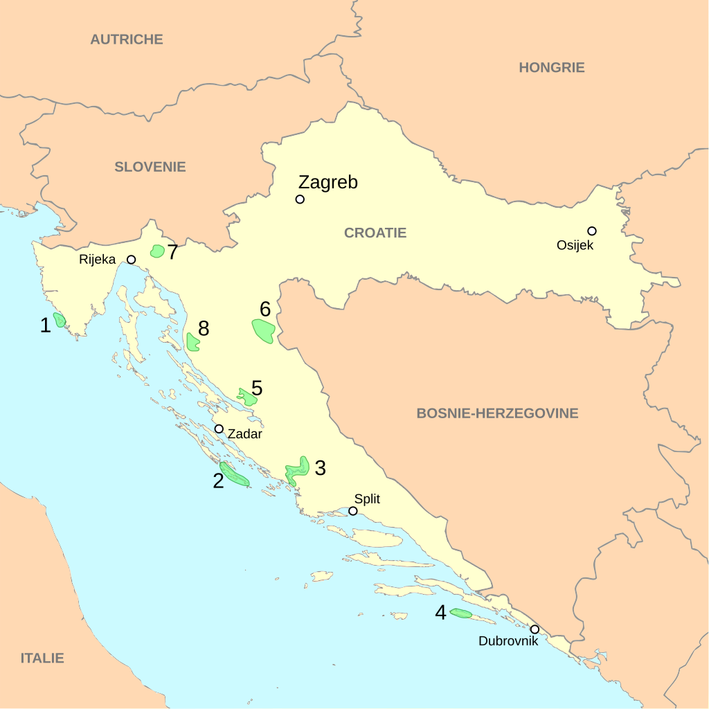
English: Localization of Croatian national parks
Français : Localisation des parcs nationaux de Croatie
|
||||||
| Dagsetning | |||||||
| Uppruni | travail personnel, à partir du fond de carte Image:Croatia map blank.svg de Minestrone | ||||||
| Höfundarréttarhafi | Cehagenmerak | ||||||
| Réttindi (Endurnotkun á þessari skrá) |
This file is licensed under the Creative Commons Attribution 2.5 Generic license.
|
This W3C-unspecified vector image was created with Inkscape .
Breytingaskrá skjals
Smelltu á dagsetningu eða tímasetningu til að sjá hvernig hún leit þá út.
| Dagsetning/Tími | Smámynd | Víddir | Notandi | Athugasemd | |
|---|---|---|---|---|---|
| núverandi | 12. desember 2010 kl. 04:40 | | 2.400 × 2.400 (1,51 MB) | Elekhh | correct country label for Austria |
| 13. desember 2007 kl. 23:01 |  | 2.400 × 2.400 (1,51 MB) | Cehagenmerak | {{Information |Description={{fr|Localisation des parcs nationaux de Croatie}}{{en|Localization of Croatian national parks}} #Brijuni #Kornati #Krka #Mjlet #Paklenica #[[:Category:Plitvice Lakes National P | |
| 13. desember 2007 kl. 22:39 |  | 2.400 × 2.400 (1,4 MB) | Cehagenmerak | {{Information |Description={{fr|Localisation des parcs nationaux de Croatie}}{{en|Localization of Croatian national parks}} |Source=travail personnel, à partir du fond de carte Image:Croatia map blank.svg de Minestrone |Date=13 D |
Skráartenglar
Eftirfarandi síða notar þessa skrá:
Altæk notkun skráar
Eftirfarandi wikar nota einnig þessa skrá:
- Notkun á cs.wikipedia.org
- Notkun á fr.wikipedia.org
- Parc national des lacs de Plitvice
- Parc national de Krka
- Parc national de Paklenica
- Modèle:Palette Aires protégées de Croatie
- Parc national de Risnjak
- Parc national de Brioni
- Parc national de Mljet
- Parcs nationaux de Croatie
- Parc national de Sjeverni Velebit
- Parc national des Kornati
- Wikipédia:Atelier graphique/Cartes/Archives/février 2009
- Lonjsko Polje
- Parc naturel de Telašćica
- Kopački Rit
- Parc naturel de Dinara
- Parc naturel de Biokovo
- Notkun á sk.wikipedia.org
- Notkun á sv.wikipedia.org
- Notkun á uk.wikipedia.org