
Mynd:Johs. Mejer 1650.JPG

Stærð þessarar forskoðunar: 771 × 599 mynddílar Aðrar upplausnir: 309 × 240 mynddílar | 617 × 480 mynddílar | 988 × 768 mynddílar | 1.280 × 995 mynddílar | 2.560 × 1.990 mynddílar | 2.962 × 2.303 mynddílar.
Upphafleg skrá (2.962 × 2.303 mynddílar, skráarstærð: 5,04 MB, MIME-gerð: image/jpeg)
Lýsing

.jpg)

Leyfisupplýsingar:
I, the copyright holder of this work, hereby publish it under the following license:
| This file is made available under the Creative Commons CC0 1.0 Universal Public Domain Dedication. | |
| The person who associated a work with this deed has dedicated the work to the public domain by waiving all of their rights to the work worldwide under copyright law, including all related and neighboring rights, to the extent allowed by law. You can copy, modify, distribute and perform the work, even for commercial purposes, all without asking permission.
|
Breytingaskrá skjals
Smelltu á dagsetningu eða tímasetningu til að sjá hvernig hún leit þá út.
| Dagsetning/Tími | Smámynd | Víddir | Notandi | Athugasemd | |
|---|---|---|---|---|---|
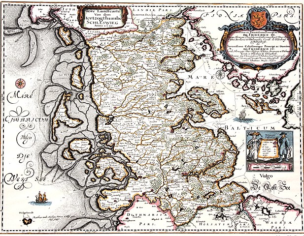
| núverandi | 25. apríl 2011 kl. 13:08 | | 2.962 × 2.303 (5,04 MB) | Calvin~commonswiki | {{Information |Description ={{en|1=Map of the Duchy of Schleswig 1650. The map shows the original area of the duchy. Kort over hertugdømmet Slesvig. Kortet viser hertugdømmets oprindelige udstrækning.}} |Source =Map by Johannes Mejer, Husum, |
Skráartenglar
Eftirfarandi síða notar þessa skrá:
Altæk notkun skráar
Eftirfarandi wikar nota einnig þessa skrá:
- Notkun á da.wikipedia.org
- Notkun á de.wikipedia.org
- Notkun á en.wikipedia.org
- Notkun á hu.wikipedia.org
- Notkun á lv.wikipedia.org
- Notkun á nl.wikipedia.org