
Mynd:Crimea republic map.png

Stærð þessarar forskoðunar: 800 × 531 mynddílar Aðrar upplausnir: 320 × 212 mynddílar | 640 × 425 mynddílar | 1.031 × 684 mynddílar.
Upphafleg skrá (1.031 × 684 mynddílar, skráarstærð: 65 KB, MIME-gerð: image/png)
Lýsing
| Lýsing |
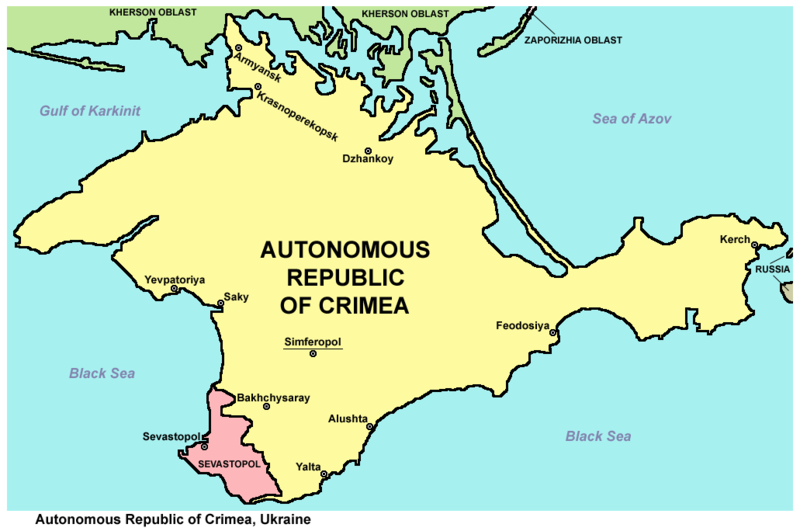
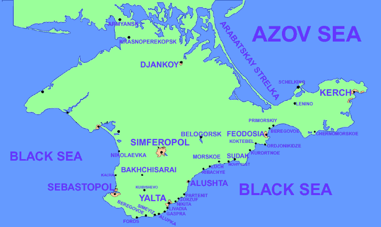
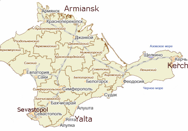
English: Map of the Autonomous Republic of Crimea and of Sevastopol, Ukraine.
Français : Carte de la République autonome de Crimée et de Sébastopol, Ukraine. Српски / srpski: Мапа Аутономне Републике Крим и Севастопоља, Украјина. |
| Dagsetning | |
| Uppruni | eigin skrá |
| Höfundarréttarhafi | PANONIAN |
| Aðrar útgáfur |
         |
Leyfisupplýsingar:
I, the copyright holder of this work, hereby publish it under the following license:
| This file is made available under the Creative Commons CC0 1.0 Universal Public Domain Dedication. | |
| The person who associated a work with this deed has dedicated the work to the public domain by waiving all of their rights to the work worldwide under copyright law, including all related and neighboring rights, to the extent allowed by law. You can copy, modify, distribute and perform the work, even for commercial purposes, all without asking permission.
|
References
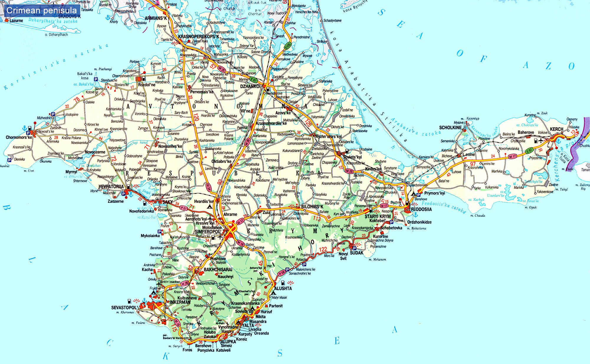
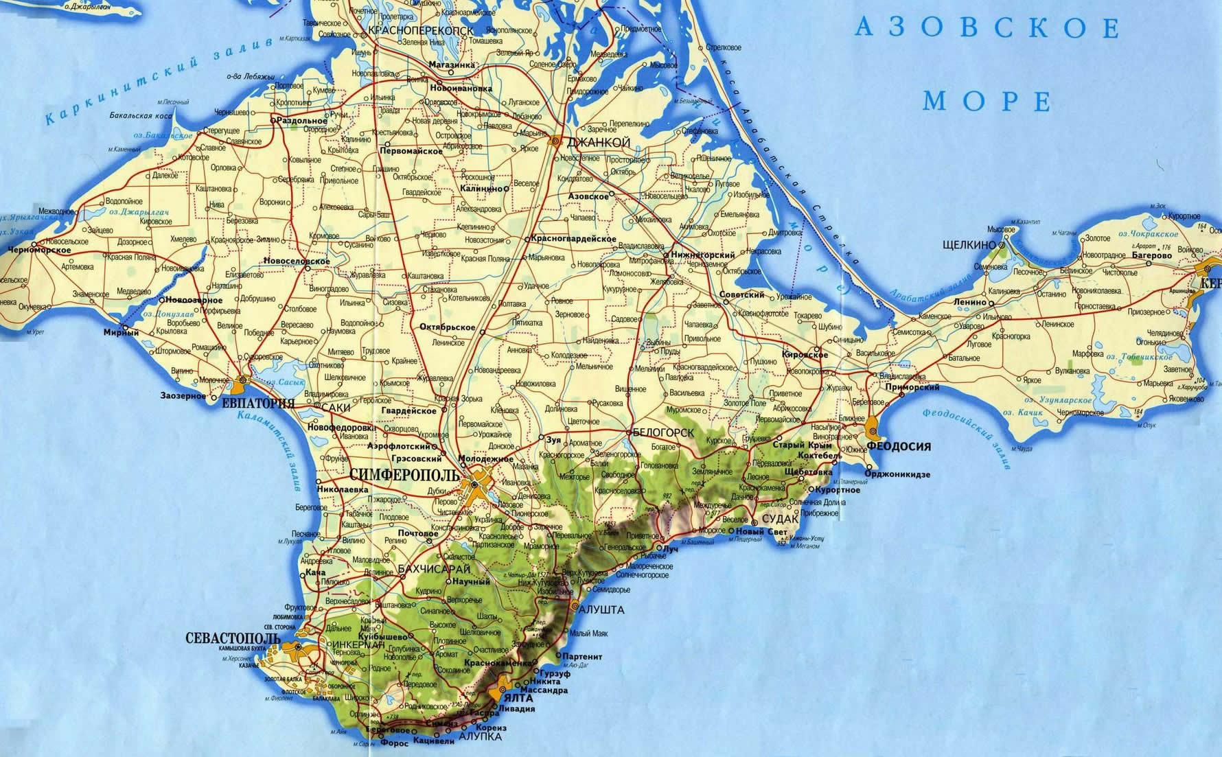
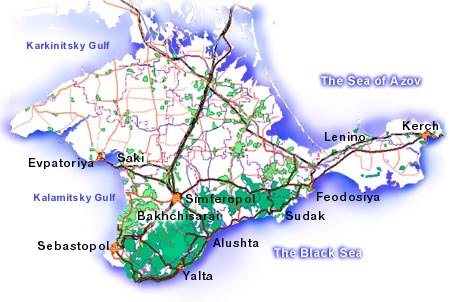
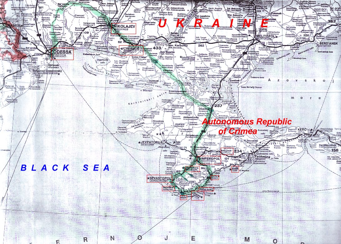
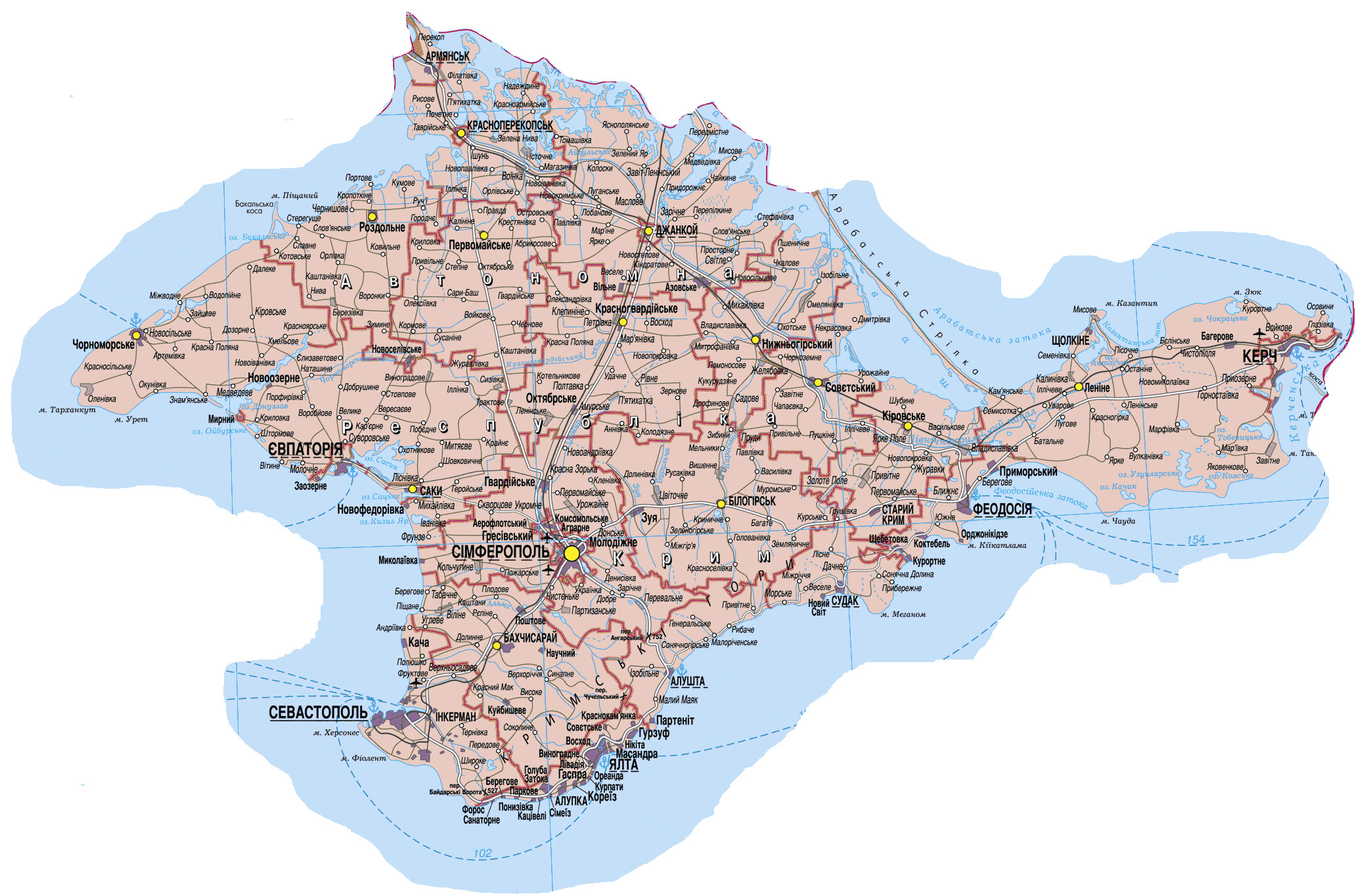
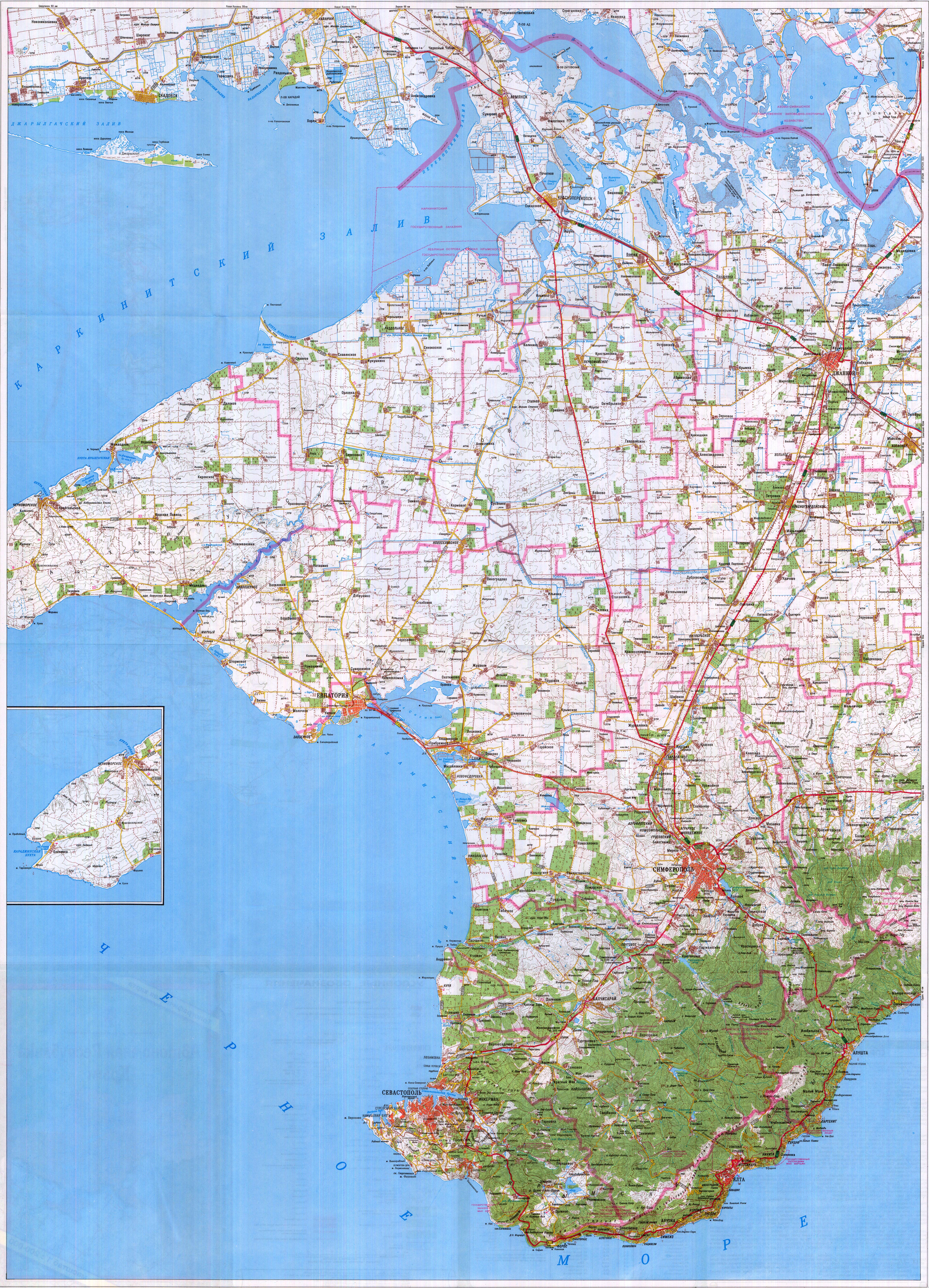
Maps from external links - entire Crimea:
- http://eurodialogue.org/files/fckeditor_files/crimea-map.gif
- http://www.lonelyplanet.com/maps/europe/ukraine/crimea/map_of_crimea.jpg
- http://www.rentmyflatinfeodosia.com/feodosia_guide/images/crimea_map2.jpg
- http://www.ukraine-travels.com/ukrainian-cities/images/crimea/crimea-map-s.jpg
- http://www.ua-business.com.ua/wp-content/uploads/2010/04/Canadian-investment-to-Crimea.jpg
- http://www.perekop.net/wp-content/uploads/crimea-map.gif
- http://mappery.com/maps/Crimea-Peninsula-Map.jpg
- http://www.globalsecurity.org/military/world/ukraine/images/crimea-map1.jpg
- http://www.riverofjoy-crimea.org/sitebuilder/images/Light_of_Crimea_TOPOGRAPHICAL_MAP_w_callouts-816x660.jpg
- http://www.mt.crimea.com/image/map_of_crimea.gif
- http://travel.kyiv.org/crimea/map/crimea_l.gif
- http://www.accesscrimea.com/images/map_crimeaprev.gif
- http://www.discover-ua.info/uploads/images/Crimea/map_of_crimea.gif
- http://www.nlminfo.org/userfiles/Image/map%20crimea0201.jpg archive copy at the Wayback Machine
- http://www.crimeamap.com/crimea_images/colorcrimeamap600x450-2.jpg archive copy at the Wayback Machine
- http://ruraltourism.com.ua/uploads/Image/oblast/eng/01.jpg
- http://www.oocities.org/new11world/crimea_map_en.jpg
- http://www.crimeahike.com/images/Crimea_Map_en.jpg archive copy at the Wayback Machine
- http://1.bp.blogspot.com/_-IladB6V24I/SPlo3CapnxI/AAAAAAAAB_E/OyjdgvtBpgU/s400/03.MapCrimea.Added..jpg
- http://weecheng.com/europe/bbs/crimea/crimea-map.jpg
- http://www.travel2crimea.com/image/common/map_of_crimea.png archive copy at the Wayback Machine
- http://www.mapofukraine.net/outdoor_activities/image/rockclimbing/crimea_climbing_map.gif
- http://novaonline.nvcc.edu/eli/evans/Photos/Russia/Yalta/Map.jpg
- http://www.ukrainebiz.com/maps/road_crimea.jpg
- http://coolhaus.de/misc/crimea-map.jpg
- http://russia-map.info/559885_BIG_0_0.jpg
- http://siriys-info.com/uploads/map/map1-crimea-full.jpg[dead link]
- http://siriys-info.com/uploads/map/map3-crimea-full.gif archive copy at the Wayback Machine
- http://siriys-info.com/uploads/map/map2-crimea-full.gif[dead link]
- http://vhodv.com/map/images/map_krym_b.jpg archive copy at the Wayback Machine
- http://our-travels.sumy.ua/ost/foto/Krym/135.jpg[dead link]
- http://www.raster-maps.com/images/maps/rastr/ukraine/atlas/crimea_karta.jpg
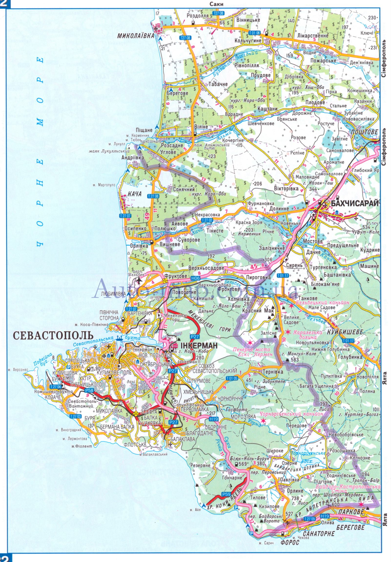
Maps from external links - Sevastopol municipality:
- http://siriys-info.com/uploads/map/map1-crimea-full.jpg[dead link]
- http://novaonline.nvcc.edu/eli/evans/Photos/Russia/Yalta/Map.jpg
- http://auto-map.com.ua/379819_BIG_0_0.jpg
- http://www.justmaps.org/maps/images/ukraine/sevastopol-map2.jpg
- http://vhodv.com/map/images/map_krym_b.jpg archive copy at the Wayback Machine
- http://www.raster-maps.com/images/maps/rastr/topographical/ukraine_oblast/krym_1.jpg
- http://blogto4ka.ru/wp-content/uploads/otdyh-v-solnechnogorskom-krym.gif
- http://4.bp.blogspot.com/-oqx_mnOV1P0/TpShYOsfpSI/AAAAAAAAE3c/HYi-YZL7IqY/s1600/Krym+trasa.jpg archive copy at the Wayback Machine
- http://our-travels.sumy.ua/ost/foto/Krym/135.jpg[dead link]
- http://www.raster-maps.com/images/maps/rastr/ukraine/atlas/crimea_karta.jpg
Largest cities and towns in Crimea:
- http://world-gazetteer.com/wg.php?x=&men=gcis&lng=en&des=wg&geo=-220&srt=npan&col=abcdefghinoq&msz=1500&geo=-3726[dead link]
Breytingaskrá skjals
Smelltu á dagsetningu eða tímasetningu til að sjá hvernig hún leit þá út.
| Dagsetning/Tími | Smámynd | Víddir | Notandi | Athugasemd | |
|---|---|---|---|---|---|
| núverandi | 19. mars 2014 kl. 20:27 | | 1.031 × 684 (65 KB) | PANONIAN | more detailed description |
| 19. mars 2014 kl. 14:24 |  | 1.031 × 684 (61 KB) | PANONIAN | added label "Ukraine". I will also upload another file which represents opposite view point | |
| 3. mars 2014 kl. 05:26 |  | 1.031 × 684 (61 KB) | PANONIAN | Reverted to version as of 09:53, 6 September 2012 - revert per talk, please upload your version under different name | |
| 2. mars 2014 kl. 21:32 |  | 1.013 × 650 (18 KB) | Ras67 | cropped, opt. | |
| 6. september 2012 kl. 09:53 |  | 1.031 × 684 (61 KB) | PANONIAN | corrected Sevastopol border | |
| 30. ágúst 2012 kl. 11:55 |  | 1.031 × 684 (60 KB) | PANONIAN | {{Information |Description=Map of the Autonomous Republic Crimea, Ukraine. |Source={{own}} |Date=2012 |Author= PANONIAN |Permission= |other_versions= }} |
Skráartenglar
Eftirfarandi síða notar þessa skrá:
Altæk notkun skráar
Eftirfarandi wikar nota einnig þessa skrá:
- Notkun á af.wikipedia.org
- Notkun á an.wikipedia.org
- Notkun á arz.wikipedia.org
- Notkun á be-tarask.wikipedia.org
- Notkun á crh.wikipedia.org
- Notkun á cs.wikipedia.org
- Notkun á da.wikipedia.org
- Notkun á dsb.wikipedia.org
- Notkun á en.wikipedia.org
- Notkun á en.wikinews.org
- Notkun á es.wikipedia.org
- Notkun á et.wikipedia.org
- Notkun á fa.wikipedia.org
- Notkun á fi.wikipedia.org
- Notkun á fr.wikipedia.org
- Notkun á got.wikipedia.org
- Notkun á hi.wikipedia.org
- Notkun á hr.wikipedia.org
- Notkun á hsb.wikipedia.org
- Notkun á hy.wikipedia.org
- Notkun á hyw.wikipedia.org
- Notkun á io.wikipedia.org
- Notkun á it.wikipedia.org
- Notkun á ja.wikipedia.org
- Notkun á ko.wikipedia.org
- Notkun á lbe.wikipedia.org
- Notkun á ms.wikipedia.org
- Notkun á no.wikipedia.org
- Notkun á pnb.wikipedia.org
- Notkun á pt.wikipedia.org
- Notkun á ro.wikinews.org
- Notkun á sc.wikipedia.org
- Notkun á sh.wikipedia.org
- Notkun á sk.wikipedia.org
- Notkun á sl.wikipedia.org
- Notkun á sr.wikipedia.org
Skoða frekari altæka notkun þessarar skráar.