
Mynd:Broadgate aerial 1.jpg

Stærð þessarar forskoðunar: 399 × 599 mynddílar Aðrar upplausnir: 160 × 240 mynddílar | 320 × 480 mynddílar | 512 × 768 mynddílar | 1.066 × 1.600 mynddílar.
Upphafleg skrá (1.066 × 1.600 mynddílar, skráarstærð: 348 KB, MIME-gerð: image/jpeg)
Lýsing
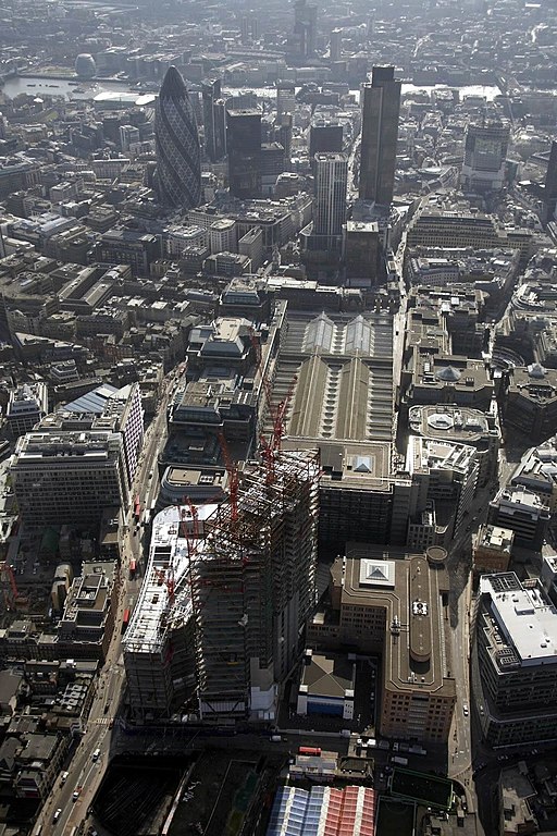
| Lýsing | Aerial view of the Broadgate Tower, London |
| Dagsetning | |
| Uppruni | eigin skrá |
| Höfundarréttarhafi | Wjfox2005 |
| Camera location | | View this and other nearby images on: OpenStreetMap |
|---|
Leyfisupplýsingar:
| I, the copyright holder of this work, release this work into the public domain. This applies worldwide. In some countries this may not be legally possible; if so: I grant anyone the right to use this work for any purpose, without any conditions, unless such conditions are required by law. |
Breytingaskrá skjals
Smelltu á dagsetningu eða tímasetningu til að sjá hvernig hún leit þá út.
| Dagsetning/Tími | Smámynd | Víddir | Notandi | Athugasemd | |
|---|---|---|---|---|---|
| núverandi | 29. október 2008 kl. 22:53 | | 1.066 × 1.600 (348 KB) | Evian Pepper | Increased contrast |
| 5. maí 2007 kl. 14:58 |  | 1.066 × 1.600 (377 KB) | Wjfox2005 | {{Information |Description=Aerial view of the Broadgate Tower, London |Source=self-made |Date=May 2007 |Author= User:Wjfox2005 }} |
Skráartenglar
Eftirfarandi 2 síður nota þessa skrá:
Altæk notkun skráar
Eftirfarandi wikar nota einnig þessa skrá:
- Notkun á af.wikipedia.org
- Notkun á ca.wikipedia.org
- Notkun á en.wikipedia.org
- Notkun á es.wikipedia.org
- Notkun á fr.wikipedia.org
- Notkun á it.wikipedia.org
- Notkun á nl.wikipedia.org
- Notkun á nn.wikipedia.org
- Notkun á uk.wikipedia.org
- Notkun á uz.wikipedia.org
- Notkun á zh.wikipedia.org